
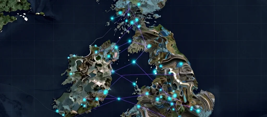
A map assembled from satellite images, terrain data, and monitoring records can reveal patterns that are difficult to spot one layer at a time. AI can help organise that material and point researchers toward places or relationships worth examining. But a striking map is a starting point for a research question, not evidence that the question has already been answered.
Patterns depend on their inputs
Every model inherits the coverage and limitations of the data used to build it. Some locations may have more observations than others, records may come from different periods, and satellite imagery may not capture conditions hidden below the surface. Those gaps should be part of the interpretation, not quietly smoothed out by a polished visual.
Check the pattern in context
A predicted area of interest can guide field checks, comparison with existing measurements, or a closer look at how the model was trained and evaluated. Researchers should ask whether the result holds up in places and conditions not used during development. The answer depends on the dataset and method, so confidence should be explained rather than implied.
Let tools sharpen the question
The most useful role for AI in environmental research may be helping people decide where to look next and what evidence is still missing. It can connect datasets, but it cannot make an unmeasured site representative or settle a causal question on its own. Treat the model as one part of a wider inquiry, and make the route from prediction to practical investigation explicit.